
Nineteenth-century Ireland was the first country to be entirely and systematically mapped at a scale of six-inches-to-one-mile. The British military-led Ordinance Survey team traveled across pre-famine Ireland gathering a range of information, including geographical, archaeological and toponymical information including local customs, antiquities, and place names.
“These records capture the pre-famine landscape of localities across the island as they were in the 1820s and 1830s, including farming practices, language, folklore, trades, and religion, as well as details of the lives and activities of those employed by the OS in Ireland.
The cultural complexities of the OS in Ireland are recorded in a variety of source materials, not just maps. In various archives, museums and repositories across Ireland and Great Britain lie correspondence, statistical accounts, drawings and sketches, and comprehensive placenames, providing a pre-famine record of Ireland and its population. 1.”
The OS200 project is led jointly by Dr Catherine Porter at the University of Limerick (UL) and Professor Keith Lilley at Queen’s University Belfast (QUB), bringing together a cross-disciplinary team of geographers, historians, archivists, linguists, archaeologists, computer scientists, and digital specialists; their varied interests and specialisms helping inform the creation of a project database and online resource.
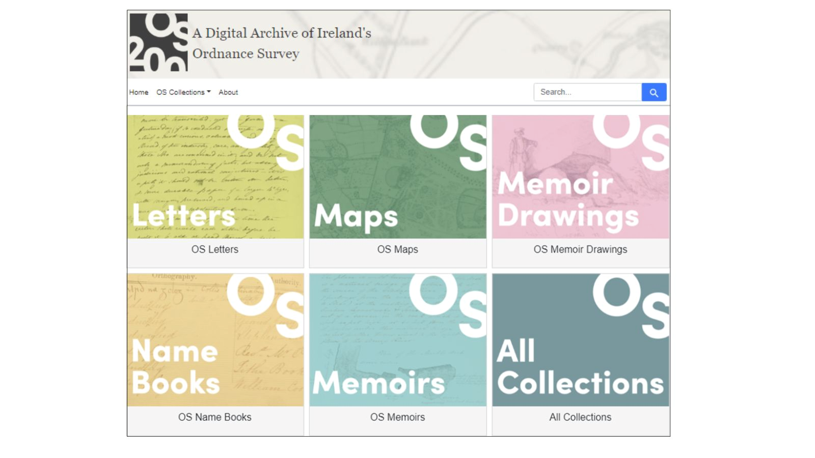
OS200 is a multi-project that aims to gather historic Ordnance Survey (OS) maps and texts, currently held in disparate archives, to form a single freely accessible online resource for academic and public use. 2
But why are these historic maps relevant? During the mapping of Ireland, the surveyors gathered a significant volume of other materials including letters, notebooks, memoir drawings, and place name books. The gathering of these resources in one single digital repository is opening up new thoughts and ideas of what the mapping process meant to Ireland at the time, its landscape and its society. Different iterations of this state ordnance survey can reveal a lot, not just from what is there, but what is not there.
