:::: MENU ::::
Posts tagged with: research

Digitally Remapping Ireland’s Ordnance Survey Heritage

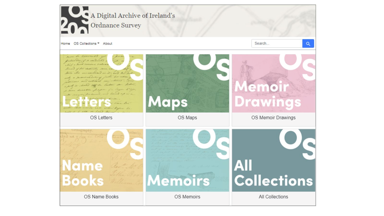
screenshot of the Digital Archive of Irelands Ordnance Survey, with bozes saying letters, maos, memoir drawings, name books, memoirs, all collections

Nineteenth-century Ireland was the first country to be entirely and systematically mapped at a scale of six-inches-to-one-mile. The British military-led Ordinance Survey team traveled across pre-famine Ireland gathering a range of information, including geographical, archaeological and toponymical information including local customs, antiquities, and place names.

“These records capture the pre-famine landscape of localities across the island as they were in the 1820s and 1830s, including farming practices, language, folklore, trades, and religion, as well as details of the lives and activities of those employed by the OS in Ireland. 

The cultural complexities of the OS in Ireland are recorded in a variety of source materials, not just maps. In various archives, museums and repositories across Ireland and Great Britain lie correspondence, statistical accounts, drawings and sketches, and comprehensive placenames, providing a pre-famine record of Ireland and its population. 1.”

The OS200 project is led jointly by Dr Catherine Porter at the University of Limerick (UL) and Professor Keith Lilley at Queen’s University Belfast (QUB), bringing together a cross-disciplinary team of geographers, historians, archivists, linguists, archaeologists, computer scientists, and digital specialists; their varied interests and specialisms helping inform the creation of a project database and online resource. 

OS200 is a multi-project that aims to gather historic Ordnance Survey (OS) maps and texts, currently held in disparate archives, to form a single freely accessible online resource for academic and public use. 2

But why are these historic maps relevant? During the mapping of Ireland, the surveyors gathered a significant volume of other materials including letters, notebooks, memoir drawings, and place name books. The gathering of these resources in one single digital repository is opening up new thoughts and ideas of what the mapping process meant to Ireland at the time, its landscape and its society. Different iterations of this state ordnance survey can reveal a lot, not just from what is there, but what is not there.
Continue Reading


The LIVE operation (Llyn IVeragh Ecomuseums)

This week I am starting a new position, Research Support Officer, Local Operations Coordinator – with the School of BEES/ERIS, UCC. The LIVE operation (Llŷn IVeragh Ecomuseums) is a multi-partner venture that will establish an EcoMuseum in western Iveragh, Co. Kerry, and will develop a new pillar for the #Ecoamgueddfa of the Llŷn Peninsula in Wales.

LIVE will promote tourism using the EcoMuseum model and through co-operative marketing of natural and cultural capital assets to bring tourists into the regions outside of the traditional peak tourist seasons, enhancing the consequential socio-economic benefits to the coastal communities.

https://irelandwales.eu/projects/live-llyn-iveragh-ecomuseums

Part of the Ireland Wales Cooperation Programme, that has seen numerous projects happen over the past few years. I’ve been following a few on Twitter with interest, I am delighted I will now get to work on one of the babies of this programme. The main focus of the operation is to maximize the potential of local natural heritage as a tourism asset, “developing and enhancing the quality and impact of ecotourism in the participating coastal communities”.

As the project progresses, I’m going to write a series of generalized blogs about EcoMuseums, sustainable tourism, research tools, etc. I won’t be writing about the project particulars, unless they are publicly advertised (GDPR and all that), but an overview, more of a digital diary, where I can log tools and methods used to research and develop this project.

I am delighted to be taking part in this project, and very excited about the potential of this EcoMuseum for South Kerry


Diploma in Software Development

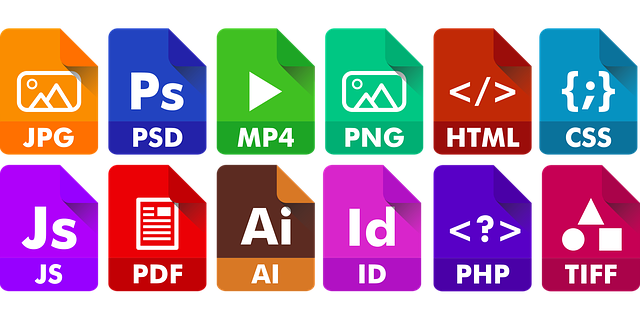
graphic contining several file extensions

The past 7 months have been somewhat of a crazy blur. Not because of the unprecedented Covid19 pandemic we are living through, but because I have been crazy busy, adding new tools to my digital toolbox.

Last year, by October, I had finished 2 big contracts, that were my bread and butter money. Even before the pandemic outbreak started, I realised there just wasn’t enough work for me locally, and I needed to reach out into the remote working world more. I am used to working remote, but the majority of my clients are local. So I decided to take a week’s break, and really sit down and think about my future.

Continue Reading


(Digital Literacies) A Pedagogy

image of a hybrid unicorn with words hybrid pedagogy

The cultivation of learning is a cognitive and emotional and social activity [Illeris 2002]

Investigation and identification of digital literacy activities, since the inception of the world wide web and personal computers, has been the concern of numerous researchers. The need for mastering electronic tools, ability to plan, execute and evaluate digital actions; these skills are now considered crucial [Fieldhouse & Nicholas 2008, Martin 2003].

Continue Reading


Comhrá

Comhrá, is the Irish word for conversation. I was trying to think up of a category name that I could file blog posts that include any thoughts or opinion pieces I write, but I couldn’t think of a suitable English word.

I am learning Gaeilge at the moment, and trying to use it everyday, in order to lose the eagla (fear) of speaking bad Irish, whilst living in a Gaeltacht area (Irish-speaking area). I like this term, comhrá. So I’ve decided to file any posts which contain discussions, research, thoughts, conversations with myself, or others, under the category Comhrá


css.php