
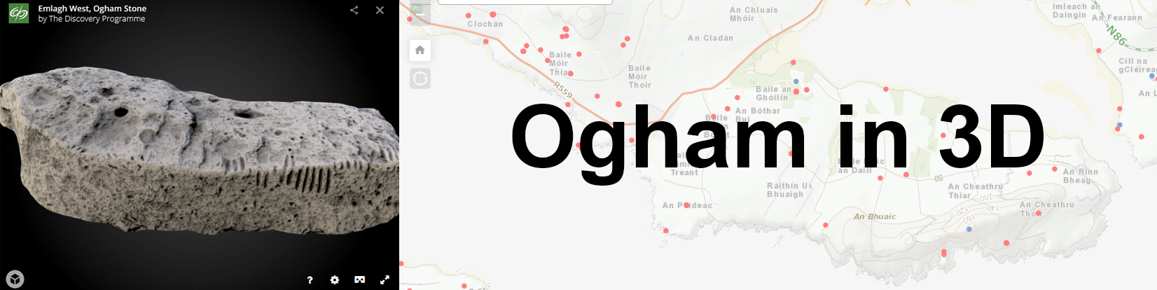
I’ve finally begun the Ogham in 3D Mapping Project, (see previous post here). I have been assigned to map the Ogham Stones at Cólaiste Íde/Burnham House.
Burnham House, is a detached seven-bay three-storey late-Georgian house, built c. 1800. 1 Originally the estate of Lord Ventry, it is now an Irish speaking girls boarding school, Cólaste Íde. A collection of seven stones, they were though to have originally been situated at a few different sites, eg Ballinrannig; Burnham East, Ballineesteenig, and other sites, but were placed along the driveway by Lord Ventry.
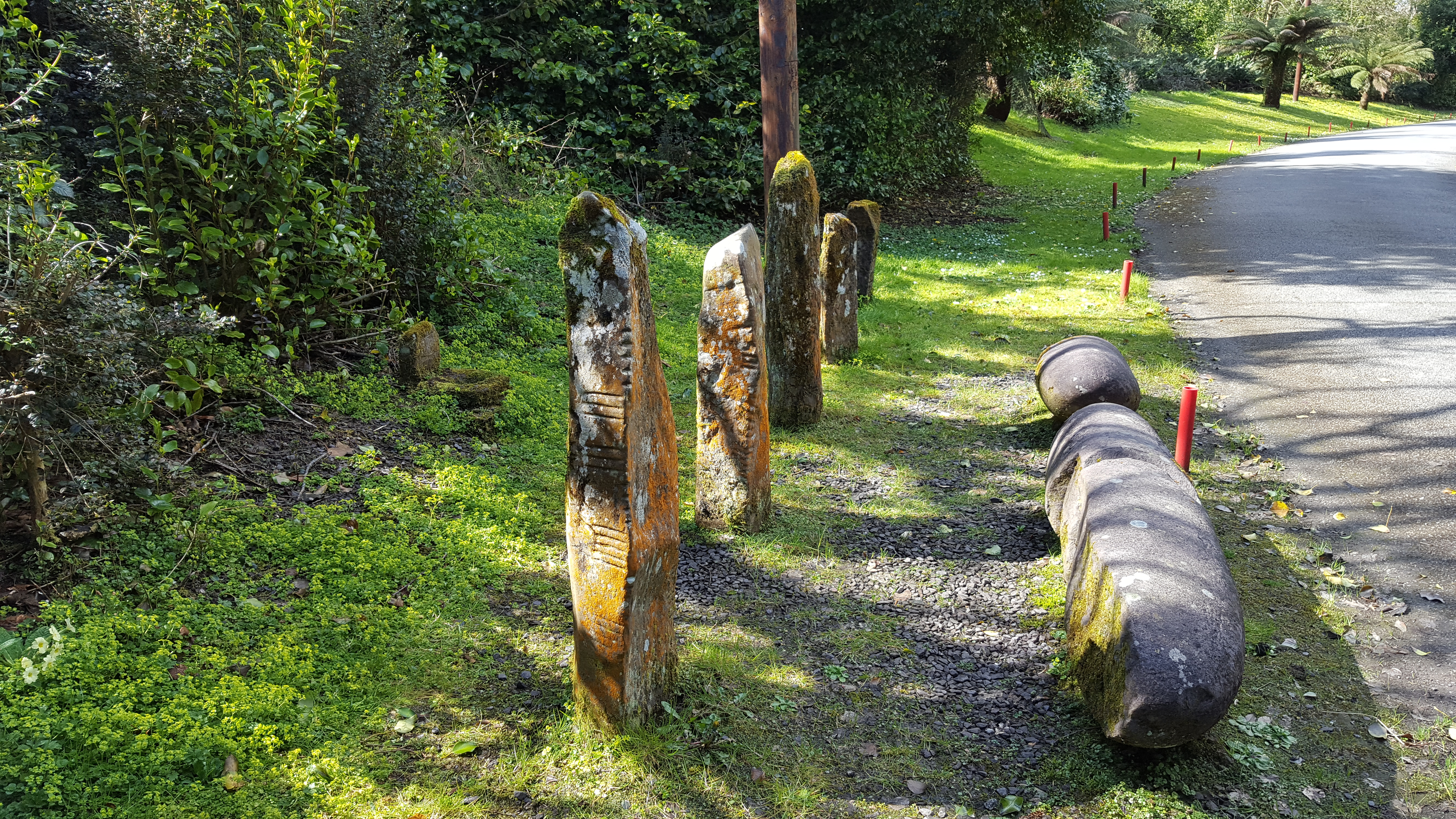
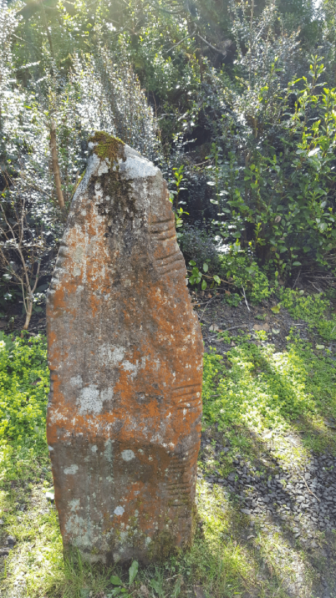
There are 5 upright Ogham pillars, that would be seen as the more traditional shape. According to the Ancient Ireland website, these stones were “were originally found in Ballinrannig (Cillvickillane/Cill Mhic Uileain) located at the base of a small promontory on the south shore of Smerwick Harbor. At the end of the 18th century, a storm exposed 7 ogham stones, a possible fragment of an ogham stone, a cross-inscribed stone and a number of graves and human bone as well as the ruins of several houses. A sketch of the time shows the stones in a roughly semi-circular arrangement on top of a mound with a nearby slab-lined grave. Lord Ventry removed six of the stones from the site, placing four at his residence at Burnham house and the other two at the residence of his nephew at Chute Hall near Tralee.”
Two water-rolled boulders, known as pulvinars, are also present. These are rounded boulders, formed by the rough Atlantic waves. (An interesting article on by Niall Kenny, Dingle’s Minard Beach . “The use of the water-rolled pulvinar stones from Minard Beach as ogham monuments at various locales in the surrounding area suggests possible links between different places in the early historic landscape.2 )
There is also a cross slab and a bullaun. A bullaun, (from the Irish word ‘bullán’, which means a round hollow in a stone, or a bowl) is a stone which has a deep hemisperical cup hollowed out of the rock, a depression that is often waterfilled. They are frequently associated with ecclesiastical sites and holy wells and so may have been used for religious purposes. Other examples which do not appear to have ecclesiastical associations can be found in bedrock or outcrop in upland contexts, often under blanket bog, and are known as bedrock mortars. They date from the prehistoric period to the early medieval period (5th-12th centuries AD).3
I have taken just a few provisional images, to test out the 3D mapping process. What you look for in a photo is very different to what you are looking for in an image to be converted to 3D data.
The Burnham Ogham Stones are close together, with a lot of background colour and noise, making the stones harder to photograph. Also, a bright day, with shadows on the stones can affect the finalized dataset. A dull day, with few tones and shadows and less adjustment of the camera, seems to be the optimal for getting good photos to convert.
Although for the Ogham in 3D project, we are just gathering the images, I have become very curious about the origins of the Oghams, and in particular the text. If you have been reading previous blog posts I have written, you would know my fascination with text and meaning, text-in-context. Also from a previous conversation with Dr. Orla Murphy of UCC, the nature of Ogham text in particular. That it is a 3D script. It wraps around the stone, rather than just straight on it. I have been thinking about this notion of the 3D text, and could it possibly be read differently if you stop trying to read it 2D like we do with text on paper. It follows on from my thought about skeuomorphic and flat design. We have been reading Ogham text in 2D, and perhaps by 3D mapping the stones, we will discover we have been missing some of the text.
It also ties in with my idea for my digital artefact. Playing with the 3D maps and data of the stones, perhaps re-projecting, through projection mapping, the context of the stones. The narrative, and perhaps their original shape.
A very interesting project by MediaLab, a team within the Digital Media Department at The Met Museum, involved projection mapping and the Department of Egyptian Art. They created ‘Colour The Temple‘, a tool that uses projected light to digitally restore colour on The Temple of Denur. Through research on early research surveys, pigment palettes, VIL (visible-induced luminescence), they created a presentation that portrayed (through nondestructive means, eg light) the original Egyptian Wall Art in all its glory. I will be talking more about this project in another blog post, not just because the project is of interest, but also about their use of open source software and tools.
References:
- http://www.buildingsofireland.ie/niah/search.jsp?type=record&county=KE®no=21305304
- Kenny, N. 2006. Dingle’s Minard Beach. Archaeology Ireland, 20(4), 16–20.–––– 2008. Materiality and meaning: ogham stone monuments of the Dingle Peninsula. Journal of the Kerry Archaeological and Historical Society (Series 2), 6, 60–88.
- Bullaun; National Monument Service, Class List Definitions http://54.76.164.72/NationalMonuments/WebServiceQuery/Lookup.aspx#BULA
- http://www.megalithicireland.com/Colaiste%20Ide.htm
- http://www.archaeology.ie/archaeological-survey-ireland
- http://www.ancientireland.org/colaiste_ide/index.htm
- https://ogham.celt.dias.ie/menu.php?lang=en&menuitem=02
So, what do you think ?