A community map is a map produced collaboratively by residents of a particular locale, often featuring local knowledge and resource, it opens up cartography to the amateurs, and asks participants to share experience values and visions about particular places [Parker 2006].
Digital Artefact: Mapping
Digital Tools Used: Google, Google Maps, Open Source Maps, Photoshop
Skills Needed: Browsing skills, knowledge of downloading, basic photo-editing. Understanding of different file formats.
Level: Beginner with support. There are lots of tutorials online, video and text, on mapping.
Licence: If using maps for commercial purposes, you need licences. Open Street Maps is open source.
Possible Use for Community Archaeology Project: Create a series of maps, online and offline for inclusion in Ogham in 3D project.
I wanted to see if it would be possible to create a photogrammetry model of the terrain around Ballinrannig, where a single Ogham Stone stands, the only remaining stone from a group of seven. This could perhaps have become part of my animation.
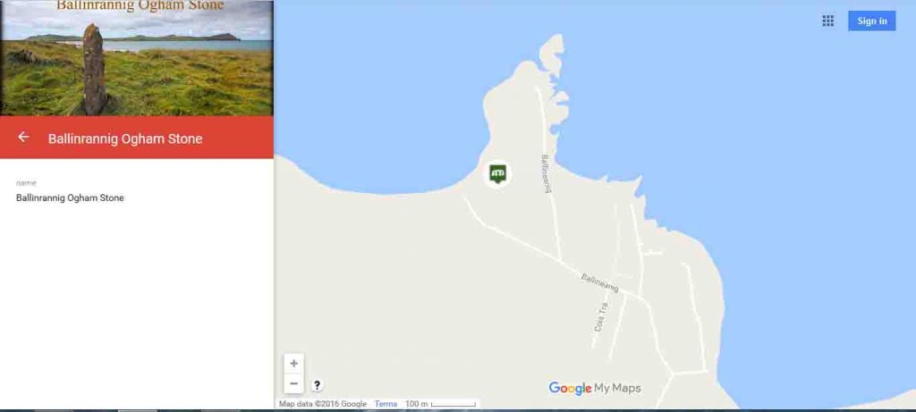
I could only find the Ballinrannig Ogham Stone listed on a personalized Google Map. However, it is locked and you are not able to edit, add features or more information. An alternative to this, could be an open map, produced as part of a community based archaeology project, which would allow anyone to contribute information about the Ogham Stone from Ballinranning, and indeed other Ogham Stones and significant artefacts.
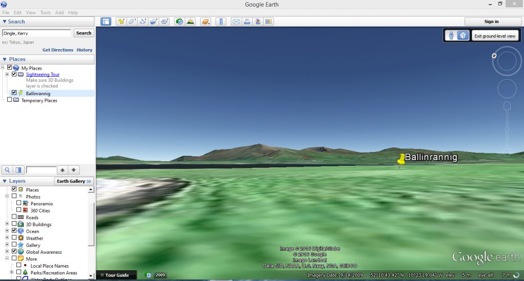
I also looked at Google Earth, to see if it was possible to view the Ogham Stone, but it wasn’t listed. Creating a Google Earth type animation for the Ogham Stones in the Dingle Peninsula, could make a great collaborative mapping project. Since the Dingle Peninsula is already a very popular tourist destination, a project like this could have many positive lasting effects.
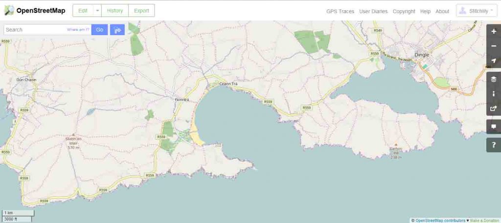
I then looked at OpenStreetMaps, a collectively created, open source map, where people are invited to sign up, and edit the maps themselves.
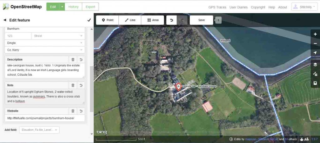
Once you have signed up for Open Street Maps, it is very easy to edit and contribute to the map. The interface is very user friendly. I edited the map, to add the Ogham Stones at Burnham House, adding in a history and description. this would be possible for all the Ogham Stones and other significant sites across the peninsula.
As part of a community-based archaeological project, such as the Ogham in 3D, it would be very interesting to have a mapping session. Where maps, such as OpenStreet Maps, can be edited to include location, history and information about access to the stones. Since some of the stones are on private land, information about access is important. This could be tied in with interviews, stories, surveys, photographs and drawings, made by different members of the community. This could then be integrated into the Corca Dhuibhne 3D website. Interactive community maps, particularly in a bilingual area, such as the Gaeltacht, can help to create a sense of place, bridge personal knowledge between the researchers and archaeologists, residents, and local knowledge.
Bibliography:
Parker, Brenda. (2006)“Constructing Community Through Maps? Power and Praxis in Community Mapping∗.” The Professional Geographer 58.4 : 470–484.


So, what do you think ?