:::: MENU ::::
Posts tagged with: mapping

Burnham House

Image with 3D ogham stone and the text Ogham in 3D

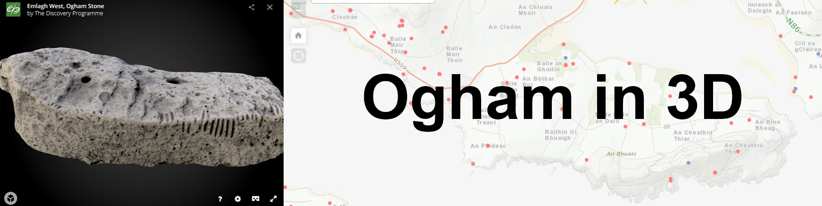
I’ve finally begun the Ogham in 3D Mapping Project, (see previous post here). I have been assigned to map the Ogham Stones at Cólaiste Íde/Burnham House.

Burnham House, is a detached seven-bay three-storey late-Georgian house, built c. 1800. 1 Originally the estate of Lord Ventry, it is now an Irish speaking girls boarding school, Cólaste Íde. A collection of seven stones, they were though to have originally been situated at a few different sites, eg Ballinrannig; Burnham East, Ballineesteenig, and other sites, but were placed along the driveway by Lord Ventry.

Continue Reading


3D Mapping Project, Dingle

As a visual learner, I find it much easier to understand ideas and concepts if they are put into practice. I want to put my new skills and knowledge (with a whole lot of curiosity!) to some use, and physically see how Digital Culture can make an impact. I want to get my hands digitally dirty so to speak. I emailed our local Museum, Múseum Corca Dhuibhne, to see if there was any projects I could volunteer on. Either I had a skill that might be of some use, or I could upskill if necessary. I ended up meeting resident archaeologist and curator Isabel Bennett for a long chat about an exciting upcoming project, Ogham in 3D

Continue Reading


css.php